Trails in Ogden Valley, UT
There is an extensive network of trails in Ogden Valley, Utah, for both hiking and mountain biking. Explore routes like the Art Nord Trailhead, serving as a central hub, it connects to various routes such as the Wheeler Creek Trail and the Upper Wheeler Creek Trail. These trails meander through meadows and forests, providing opportunities for wildlife sightings and panoramic views.
For mountain bikers, Woody's World Trail near Eden presents a moderately challenging 3.6-mile route with a mix of climbs and descents, winding through aspen groves and providing vistas of the surrounding mountains. Additionally, the Wheeler Creek Trail offers a scenic ride through a limestone canyon, connecting to the broader Snowbasin trail system. These trails and others exemplify the natural beauty and recreational opportunities available in Ogden Valley, making it a prime destination for your next outdoor adventure.
Brim Trail
6+ Miles | Moderate
Preferred by mountain bikers, this 6.5-mile trail located at Powder Mountain consists of a well-maintained single track with many different features and spectacular views along the way! The best times to visit are May through October.
Paper Airplane
1.8 Miles | Moderate
Mountain bikers love to use this trail as a connector between Woody's World & Brim Trail, This singletrack trail at Powder Mountain is lined with Aspen and Fir trees. The best times to visit are May through October.
Woody's World
1.8 Miles | Moderate
An excellent singletrack that leads mountain bikers through the aspens and pines, and out into the meadows of Powder Mountain. Woody's has an overlook with great views into the Sundown lift area and Powder Country, two other beautiful sections of the over 7000-acre resort. Park at the bottom of Powder Ridge Road for a fun downhill section on your way out!
Doctor's Dozen
5+ Miles | Moderate
This ride starts off on an old dirt road that leads its way into a cat track and then some very nice singletrack with beautiful views and varied scenery. Prepare for some uphill terrain on the latter half of this ride. It is not uncommon to see a deer or even a moose.
White Pine Basin
2+ Miles | Moderate
This trail offers riders a decent ascent and decent. It can also be utilized as a shortcut for those needing to get back to the parking area. This double track features a nice loop and beautiful views of Pineview Reservoir.
North Fork Park View Trail
6+ Miles | Moderate
This 6.4-mile loop nearby Eden is generally considered an intermediate route and takes an average of 3+ hours to complete. This trail is excellent for birding, hiking, and backpacking. Peace and quiet can be found on this loop, especially during the quieter times of the year.
Lewis Peak Via South Skyline Trail
10+ Miles | Difficult
This 10.2-mile loop nearby Eden is regarded as an expert route and takes an average of 6 hours to complete. This is also a popular trail for backpacking, hiking and trail running, but still offers peace during the quieter times of the days. The best times to visit this trail are early Spring – late Fall.
Mule Ear Trail
5.5 Miles | Moderate
Enjoy this intermediate route nearby Eden, Utah. A favorite of mountain bikers, hikers, and trail runners, Mule Ear, is 5.5 miles in total distance and takes an average of 3+ hours to complete. There are beautiful views and ample opportunities to view wildlife.
South Skyline Trail Segment
3+ Miles | Moderate
Adventure out on this 3+ loop nearby Eden. This segment is shared by hikers, trail runners, and mountain bikers. You'll find the best conditions between late Spring and Early Fall.
Ben Lomond Via Cutler Trail
10+ Miles | Difficult
This out-and-back trail is known for its steep ascent and rocky terrain.Enjoy optimal conditions from late Spring – early Fall. Peace and quiet can be found, but it is not uncommon to see other hikers, backpackers, and trail runners.
Green Pond Trail
2.5+ Miles | Easy-Moderate
A shorter, well-shaded, family-friendly trail that leads to Green Pond, a peaceful spot for a picnic or rest. It’s a popular trail in both summer and winter.
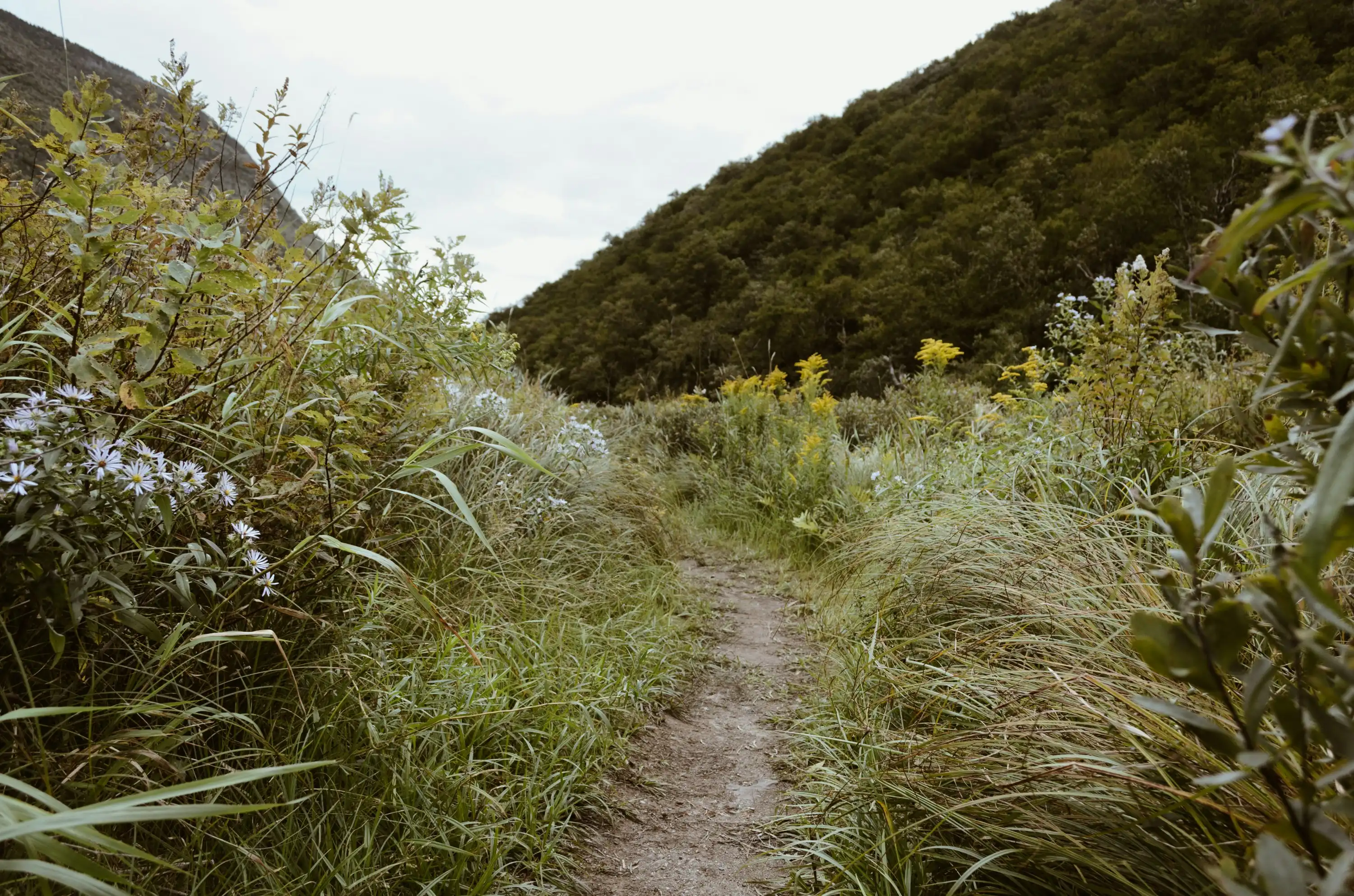
Art Nord Trail
Distances Vary | Easy-Moderate
This trail offers a network of paths, making it a flexible option for hikers looking for a short stroll or a longer trek. It’s close to the Wheeler Creek Trail and offers access to both Ogden Canyon and Snowbasin, making it a great option for families and those looking to explore different routes.
Indian Trail
4.3 Miles Round Trip | Moderate
Starting near the Ogden Canyon, this trail is lined with interesting rock formations. It’s a great hike for those wanting to explore some of the area’s history, as the trail was originally used by Native Americans and later by early settlers.
Wheeler Creek Trail
4.7 Miles Round Trip | Moderate
This popular trail winds through forests along Wheeler Creek, providing plenty of shade. It’s accessible year-round, and in the winter, is a great snowshoeing route. Wheeler connects to Snowbasin Resort and makes a great option for a nature-filled day hike.
Snowbasin Trail
1.5 Miles | Moderate
This mountain biking trail offers a fun challenge with some sections featuring a considerable amount of rocks. While it's not particularly steep, there are technical portions that can provide a bit of excitement for riders.
Accessing the trail from the Snowbasin base does require traversing a lengthy stretch of the access road, which includes a few steep uphill sections.
Wheeler Canyon
2 Miles | Moderate
Located in Wheeler Slot Canyon, this trail features mild, steady climbs on a rocky and root-strewn tread. The breathtaking vistas along the way more than compensate for your hard work.
Upon reaching the Art Nord trailhead, riders can opt to either continue on the Wheeler Creek - East Fork Trail or take the Wheeler Creek Trail for a change of pace.
Ice Box Canyon
1 Mile | Difficult
Icebox Canyon is a thrilling and entertaining shortcut that winds through a dense forested watercourse, presenting riders with a challenging and exciting adventure. The trail features numerous obstacles, including rock gardens, tree obstructions, tight hairpin turns, steep inclines, and some exposure.
Porcupine
4.5+ Miles | Difficult
An exciting alternative to Needles, with great scenery and occasional rocky sections. Follow signs and watch for two-way traffic. Better for downhill than Needles, shorter with better flow and slightly more technical rock sections. In the early Spring, there are a number of stream crossings.