
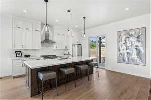
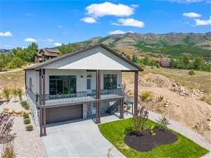
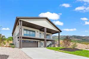
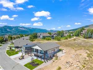
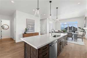
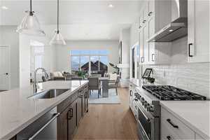
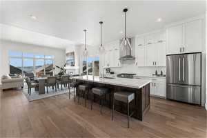
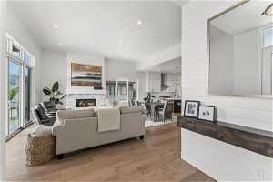
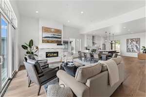
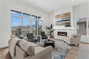
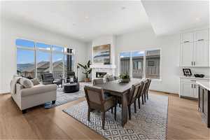
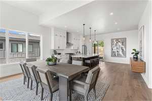
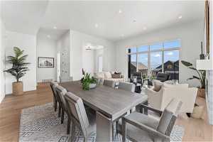
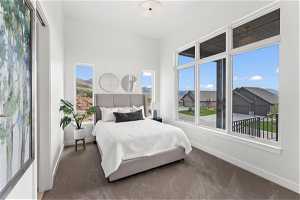
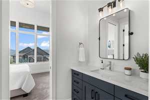
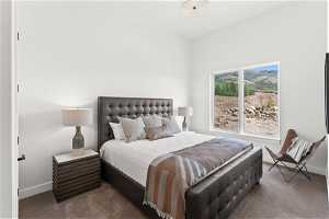
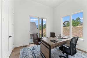
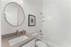
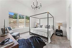
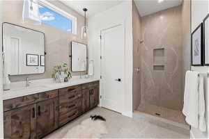
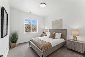
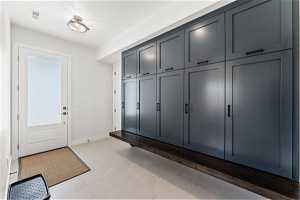
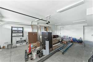
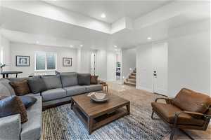
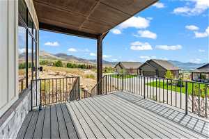
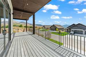
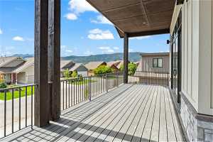
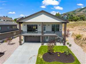
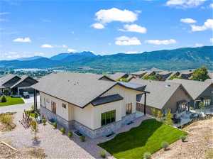
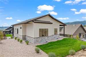
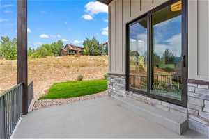
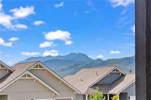
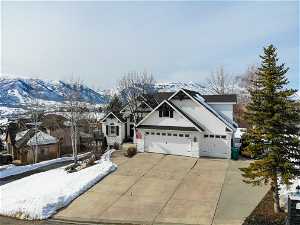
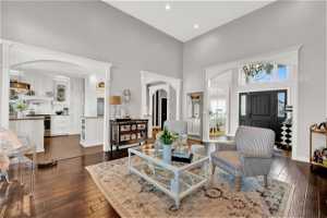
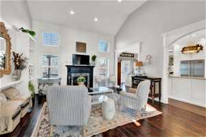
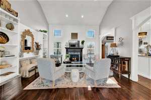
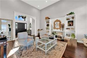
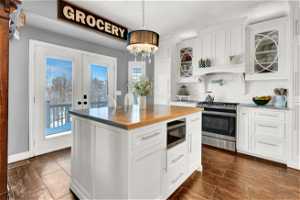
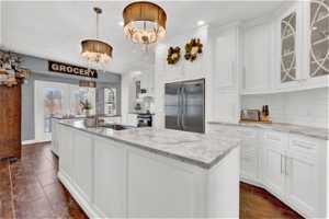
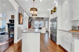
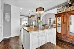
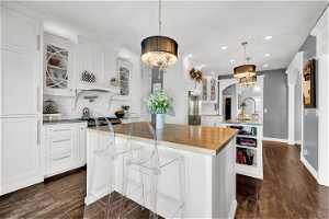
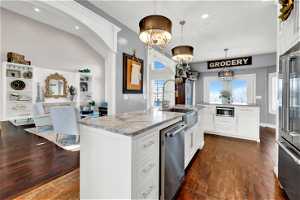
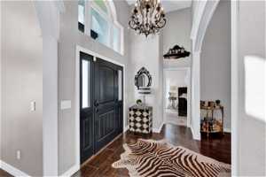
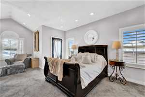
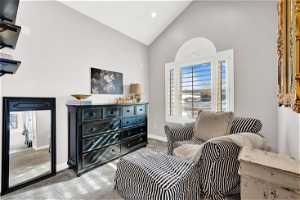
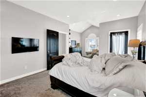
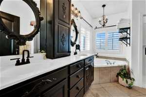
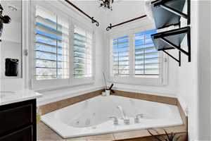
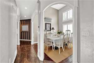
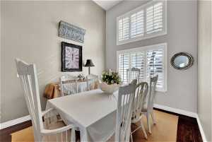
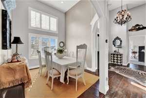
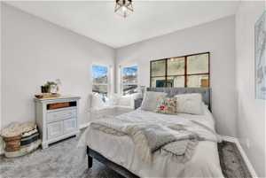
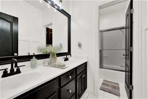
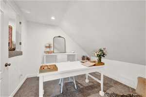
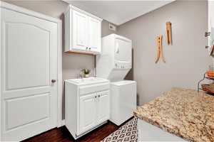
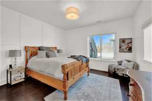
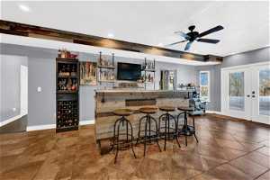
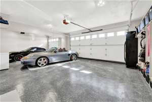
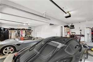
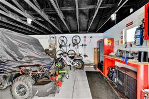
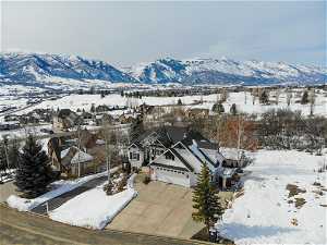
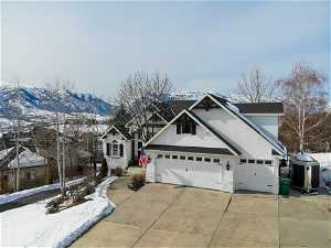
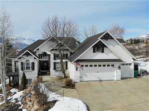
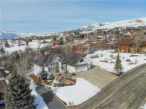
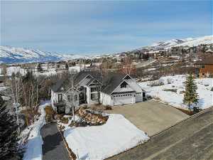
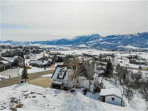
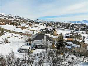
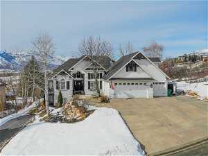
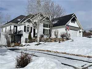
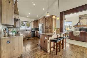
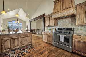
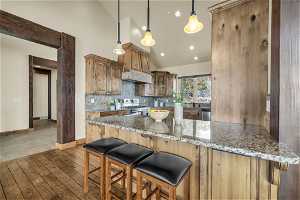
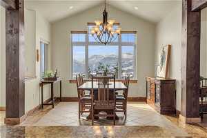
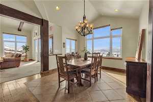
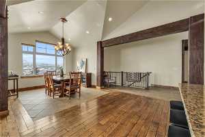
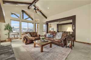
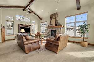
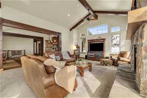
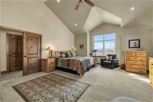
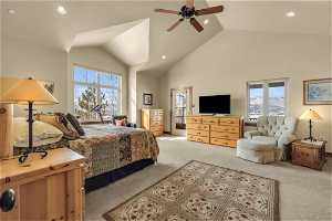
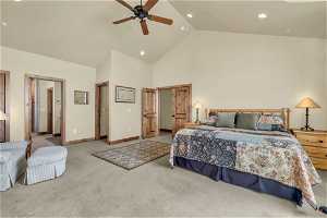
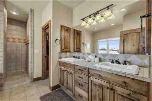
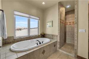
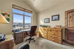
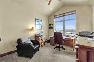
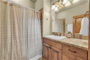
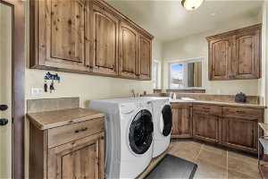
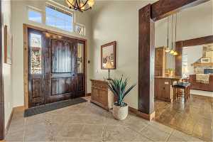
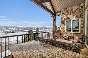
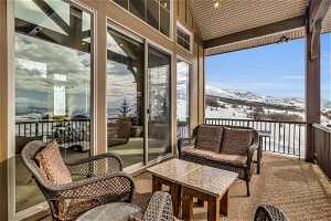
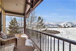
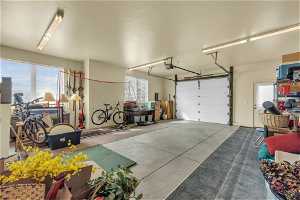
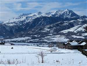
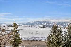
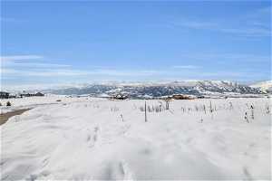
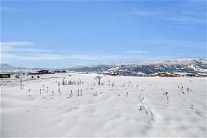
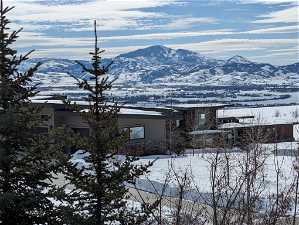
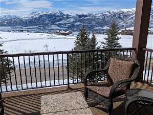
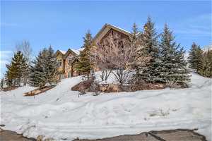
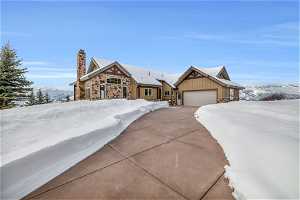
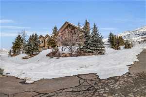
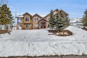
$1,499,000
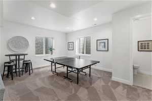
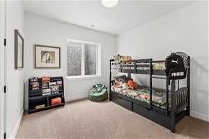
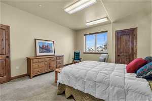
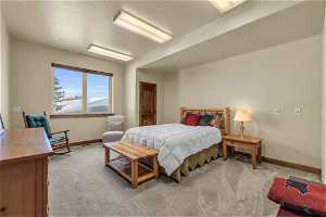
4 Bed •
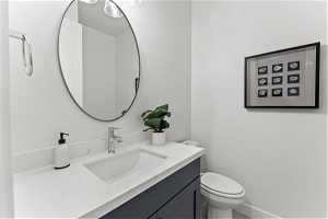
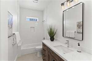
4 Bath •
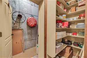
6,030 SF •
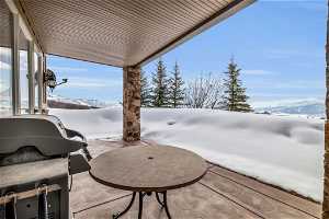
1.96 AC
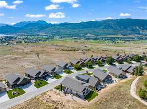
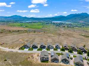
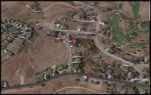
3709 N River Dr
Eden, UT 84310
Subdivision
MLS#
301 Days on Market

Similar Properties


6 Bed
6 Bath
4,437 SF
0.09 AC


7 Bed
4 Bath
5,167 SF
0.28 AC


4 Bed
4 Bath
4,072 SF
0.46 AC


3 Bed
3 Bath
2,310 SF
0.08 AC


5 Bed
4 Bath
5,174 SF
5.25 AC